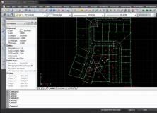
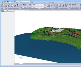
Topocad is a CAD system for measurement engineering calculations, map editing, and other functions. Its can be used in BIM, GIS, mining surveying, mapping in 3D, volume calculation, survey data calculation, longitudinal section drawing, terrain models, and in the design of tunnels and sewers.
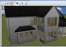
A desktop survey and design program created for surveyors, and contractors.


Comments